
Hike La Rhune (Larrun in Basque, 905 m), the iconic summit of Labourd, the coastal French Basque province, with a private, English-speaking, state-certified hiking guide. Skip the crowded rack-railway route: I take you up quieter trails from Ascain or Sare, at your pace.

One Summit, Many Faces
La Rhune (Larrun in Basque), the iconic summit of Labourd for over a century, is visible from the beaches for 100 km around, easily recognizable by its large antenna at the top. The best-known route, starting from the Col de Saint-Ignace in Sare, is also the most crowded : it’s the route of the historic cog railway, opened in 1924, which climbs to the summit in 35 minutes. In high season, the crowds on this route can detract from the experience — fortunately, it’s not the only way up.
The Alternative Trails
From Ascain
The departure is from the Roman bridge parking lot in the village. To go up and back along this official trail with yellow markings, allow on average 4h40 for 13.8 km and 900m of positive elevation gain. A route weaving between pottoks (Basque ponies) and flocks, offering a gorgeous view of the massif that gradually unfolds.
From Sare or Trabenia via the GR
The departure is from parking lots at the foot of the massif, which often fill up quickly during busy periods. To ascend and descend along this trail, you’ll need to follow the white and red markings of the GR10 before switching to the yellow markings for the final climb. Be careful to note your route along the way so you can easily find the right parking lot on the descent.
The Other Trails
The other routes require good orientation skills and are not ideal in all seasons. Some sections are easier uphill than downhill. You must make sure to stay on the trails to respect the flora and fauna of this Natura 2000 protected area.

A Trendy Summit Since 1859
La Rhune owes its reputation to an imperial stay. While Napoleon III and Empress Eugénie made Biarritz the most sought-after seaside resort in Europe, Empress Eugénie climbed the summit in 1859 and thus launched the trend of mountain excursions for high society vacationing on the Basque Coast. A granite obelisk, still visible at the summit, commemorates this foundational ascent.
What could have remained a seasonal craze was extended by the project of a cog railway, born as early as 1908. Work started in 1912, and the first train climbed to the summit on June 30, 1924, opening the mountain to everyone, far beyond the seaside bourgeoisie. Fortunately, in 1978, the residents of Sare refused the construction of a road to the summit, preserving the operation of this historic train and its iconic character. A century later, the line still runs on its restored original equipment and transports nearly 350,000 visitors each year, proof that a mountain visible from the entire Basque coast never goes out of style.
Select your Experience
Departure before dawn for a silent sunrise, or a sunset picnic at the summit before descending by headlamp.
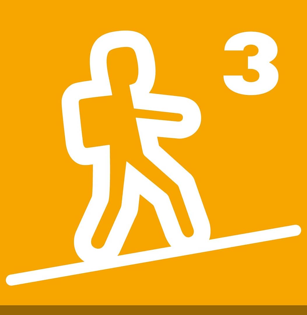
Physical level [Moderate]
A day hike
4h-6h of hike
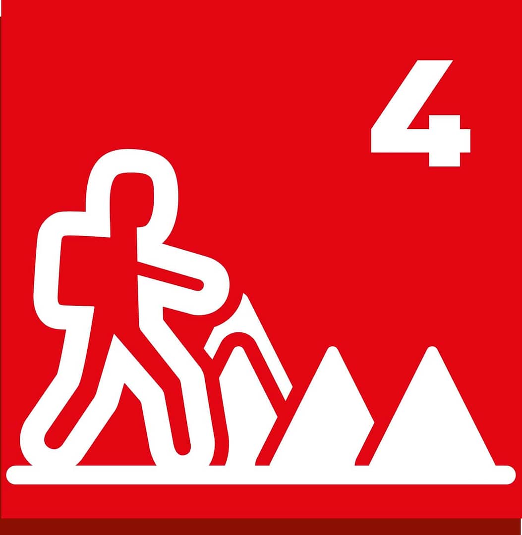
Technical level [Fairly Difficult]
Best time
The temperature difference between the starting point and the summit can be significant depending on the time of year, a windbreaker is recommended, even in summer. These alternative trails can be practiced all year round, but remain much more pleasant in spring and autumn, when the summer heat and crowds drop away from the main routes.
The weather changes quickly due to the influences of both the Pyrenees and the Atlantic, as this summit sits right at the crossroads between mountain and ocean.
Water on La Rhune
Although the Basque Country is known for being wet, bring plenty of water for your climb. The three fountains halfway to the summit are only “fountains” in name, it’s a wetland, not a tap. Furthermore, the summit Ventas (inns) pump water from low springs on the southern slope, so water is scarce at the top, given the high number of visitors. You will only find bottled water there, and some days the restrooms may be closed.
Summit Forecast – La Rhune
Weather and conditions
For your safety, the guide reserves the right to amend or cancel the outing depending on weather conditions, the terrain or the participants. The program is subject to change; it may be amended by your Guide to suit the weather conditions.
Furthermore, the guide may refuse to allow any participant whose equipment does not comply with the required list to set off, and may stop any participant whose ability, physical fitness or behaviour is incompatible with the smooth running of the hike, without this giving rise to any entitlement to compensation.
Equipment
For the day:
- Hiking shoes with studded soles
- Hat
- Sunglasses Category 3 minimum
- Backpack
- Water at least 1,5L/person
- Sun cream
- Rain jacket or poncho
- A spare warm garment (fleece or light down)
- Tissues
- Picnic
- Snacks
- Bin bag (Ziplock plastic bac for example)
- Personal first-aid kit
- Your emergency medication (Example: Asthma/Ventolin or Allergies/Anapen)
- Blister plaster you are used to (if you have sensitive feet or are wearing new shoes)
More details on equipment
Recommended if you’re used to these :
Hiking poles
Sports drink / isotonic drink
A hat that offers better coverage than a cap
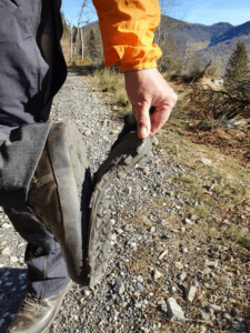
Don’t skimp on your hiking boots.
If they’re too old, they might come apart.
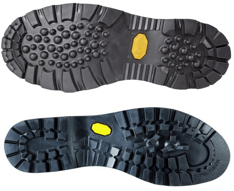
Sole studs in good condition to grip in the mud.
Beware of cheap sunglasses, which may be counterfeit or fail to meet the required standards.
If you’re unsure about what kit to take, just ask me.
Your Summit, Your Way
Tell me the summit, the date, the format — and I’ll craft the itinerary, services, and schedule that suit you.
Frequently Asked Questions – Hiking La Rhune / Larrun
Can you climb La Rhune without taking the little train?
Yes, opt for the official trail starting from the Pont Romain in Ascain with its yellow markings if you aren’t used to the mountains.
When is it least crowded?
Visit La Rhune outside of the summer season and during weekdays to avoid the crowds.
How long does the ascent via the small trails take?
Depending on your physical fitness and mountain experience, allow about 2 to 4 hours hiking for the ascent and 1.5 to 3 hours hiking for the descent. These do not account for pauses.
Is a good physical fitness level required?
The elevation gain (760 to 900 m depending on the route) requires decent physical fitness and a sure foot for the entire descent, even though there are no exposed passages — unlike Three crowns (Peñas de Aya). If you’re hesitating, other more accessible hikes exist, which also offer magnificent panoramic views over Labourd and the Basque coast.

I’m Charles, an International Mountain Leader (IML) with the French State Diploma Accompagnateur en Montagne, based in Bidart, next to Biarritz. I’ve spent 30 years in the mountains and outdoor sports, and I know these trails: the best times to go, the quiet corners, the views worth the effort.
Every hike is built around you: your pace, your summit, your picnic, in English or French.
International Mountain Leader (IML) · French State Diploma Accompagnateur Moyenne Montagne · UIMLA international standard · Leave No Trace trained